
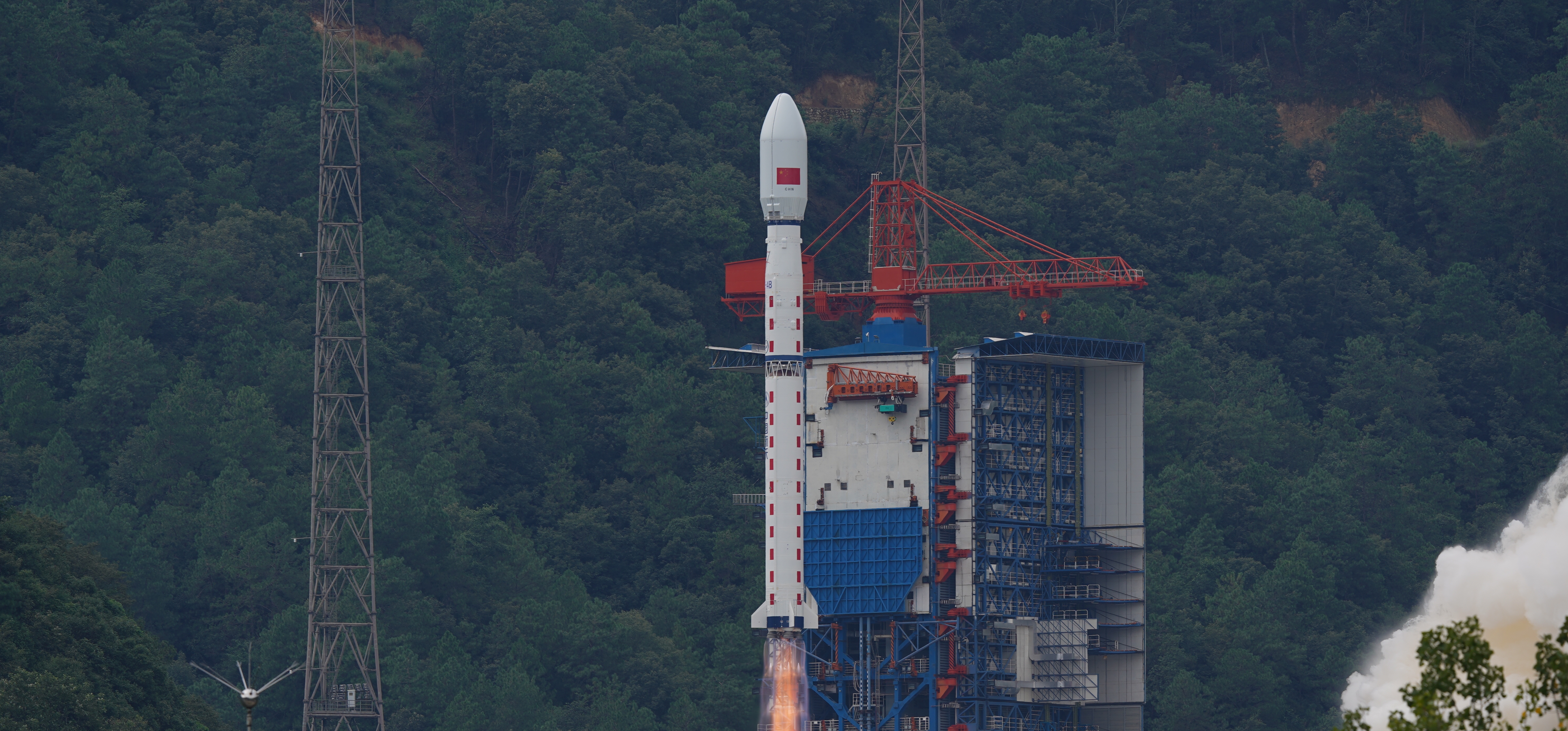
Long March 4B | Ziyuan-3-04
Mission Details
The ZY-3 (Ziyuan-3, 'Resource-3') series represents China's first high-resolution, stereoscopic mapping satellites for civilian use. The second satellite is managed by the Satellite Surveying and Mapping Application Center (SASMAC). The imaging payload consists of a three-line camera array and a multispectral imager. The three-line panchromatic camera array to acquire stereoscopic imagery consists of three telescopic cameras with one oriented to the nadir and the other two each offset by 22° forward and backward in flight direction. The stereo mapping camera of ZY-3 has a resolution of 2.1 m for the nadir camera, and 2.6 m for the offset cameras. The swath width is 51 km. The multispectral imager for environmental and vegetation monitoring consists of a three-mirror telescope and a cooled detector system sensitive to four wavelength bands to capture full-color imagery as well as near-infrared data. The ground resolution of this system is 5.8 m.
- Type
- Earth Science
- Orbit
- Sun-Synchronous Orbit
Launch Site
- Pad
- Launch Complex 9
- Location
- Taiyuan Satellite Launch Center, People's Republic of China
- Country
- 🇨🇳 CHN